


20 km | 31 km-effort


User


FREE GPS app for hiking
 SityTrail
IGN / Geographical institutes
SityTrail World
The world is yours!
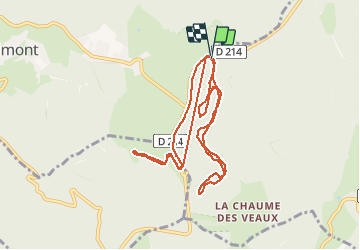
Trail Cross-country skiing of 10.3 km to be discovered at Grand Est, Bas-Rhin, Le Hohwald. This trail is proposed by fredodlageo.
Skis de fond c
Walking

Walking
Walking
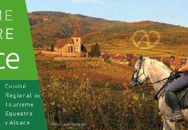
Horseback riding

Horseback riding
Walking
Walking
Walking